Spring 2022
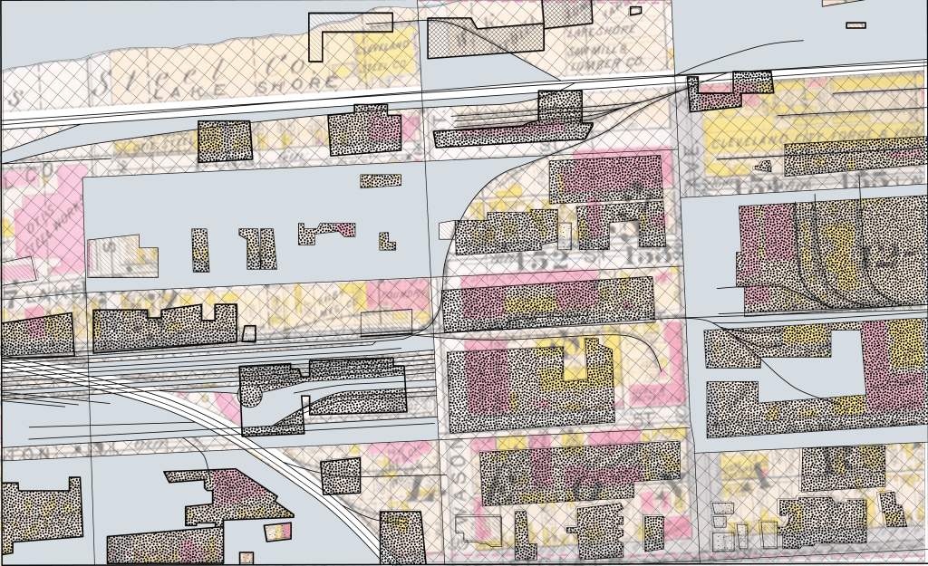
“Unlike tracings,which propagate redundancies, mapping discovers new worlds within past and present ones” (Corner). In my model I took this quote to heart that things don’t have to completely make sense and the old and new can be intertwined. I first added a background that was a college of an older map that highlights many places around Cleveland and in Ohio. I then added the current buildings of St. Claire with the streets of now. The history of Cleveland is connected to other places nearby and that is highlighted in this model, Cleveland had and still has an impact on America. It was stated in 1982 that Cleveland was now an “All American City”. “The proclamation cited the city for its enactment of major government reform, streamlining City Council and restoration of downtown performing arts and entertainment complex” (Perry). By having these things Cleveland couldn’t help but be an influential city.
Through putting pieces of Cleveland and other places in Ohio together I started to see new connections I hadn’t before. Every street of Ohio looked pretty much the same and has large roadways going through the state. I started to see Cleveland as just a piece of Ohio that helps to make everything work and connect within the state. It is essential to understand one piece of a city, there has to be a lens looking outward to the surrounding cities.
Through this exercise I learned that the scope of research of a city can really go inward and outward to get the best information about a site. Also, a map can be representational and does not need to make sense. Looking deeper into what is included can show hidden connections.
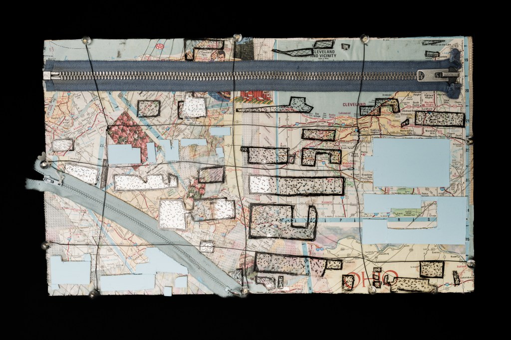
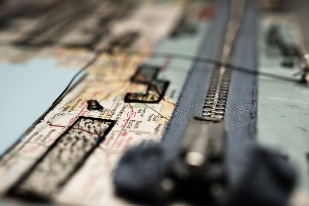
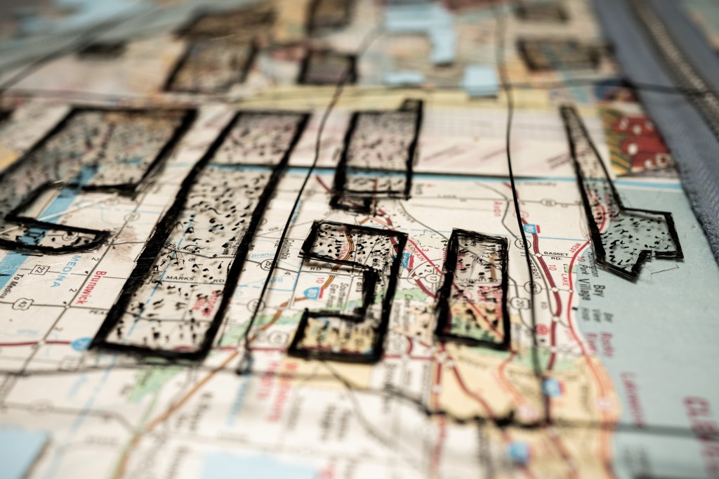
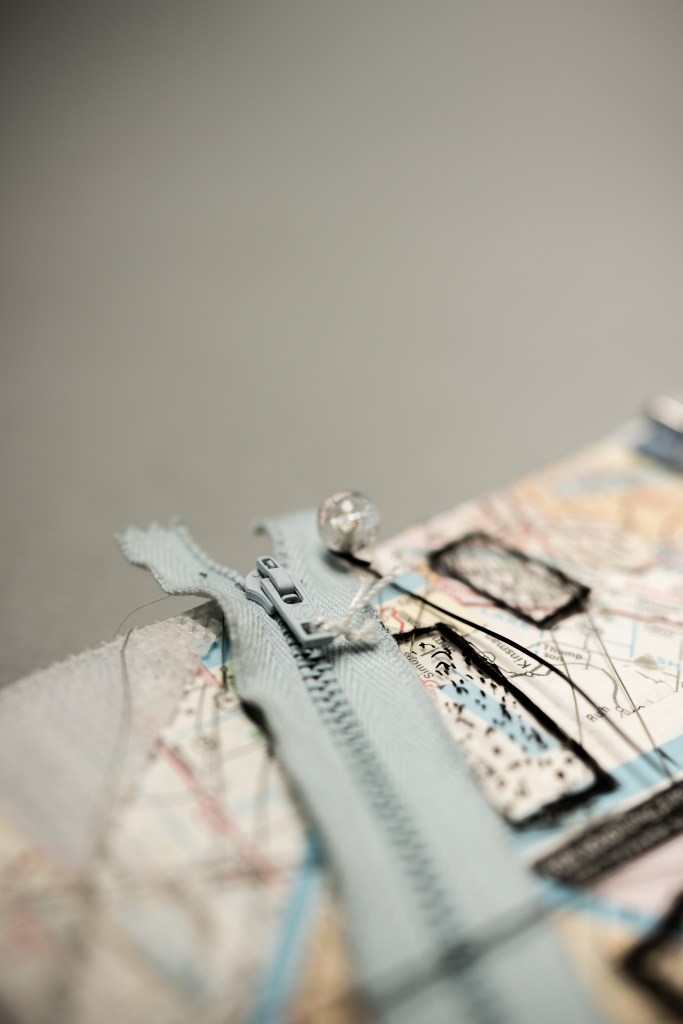
Photography by Charles Nettle.
